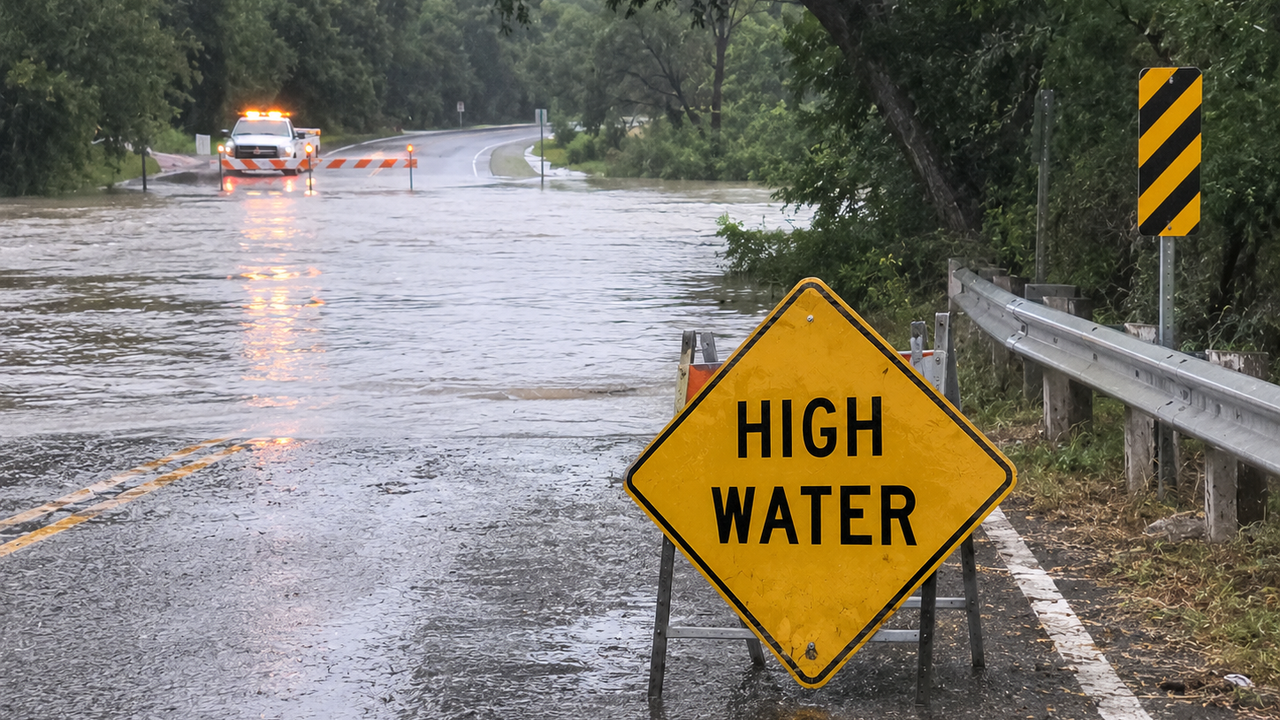
San Antonio- Heavy rain drenched San Antonio on Tuesday, July 14, bringing flooded roadways, traffic delays, scattered power outages, and renewed concerns about flash flooding across Bexar County and the surrounding Hill Country.
The National Weather Service warned that slow-moving thunderstorms could repeatedly move over the same areas, producing several inches of rainfall in a short period. Forecasters said localized rainfall totals could exceed 6 inches, with the greatest flooding threat occurring in low-lying areas, along creeks, and on roads prone to high water.
Throughout the morning, motorists encountered hazardous driving conditions across North San Antonio. More than a dozen roads were reported closed because of high water, while crashes on Interstate 10 near Woodstone and Interstate 35 near Judson Road created lengthy backups during the morning commute.
The storms also affected electrical service. CPS Energy reported weather-related outages impacting more than 5,000 customers, primarily on the city’s Northwest Side, although many customers had power restored by mid-morning.

The heaviest rainfall extended beyond San Antonio into the Hill Country, where rivers including the Guadalupe and Medina were closely monitored for rapid rises. Emergency officials urged residents to avoid flooded crossings and remember the safety message: “Turn Around, Don’t Drown.”
Meteorologists say the wet pattern is being fueled by abundant Gulf moisture interacting with a stalled weather boundary, creating repeated rounds of thunderstorms over South Central Texas. While temperatures have remained well below normal for mid-July, the tradeoff has been an elevated risk of flash flooding through at least Wednesday.
Residents are encouraged to monitor local forecasts, keep emergency alerts enabled on their phones, and avoid unnecessary travel during periods of heavy rainfall, especially overnight when flooded roads can be difficult to see. The rain is expected to gradually shift west later this week, though some river flooding could continue even after the storms end.